January 16, 2021 - South Jersey Funfly
|
|
Weather was decent today -- not too cold. clear skies, great visibility -- so I decided to go flying. I didn't really have anywhere to go so just decided to fly over to the south Jersey area; hadn't been there in awhile.
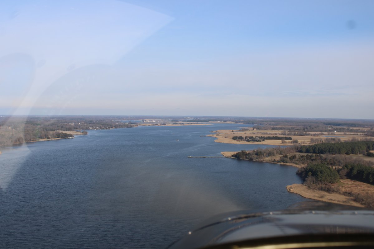
Here I'm heading up the Chester River.
|
| |
 |
|
|
I headed for the Salem Nuclear Power Plant which was clearly visible for probably 20 plus miles. Once I got there, I crossed the Delaware River and headed north to check out the Salem River area which I had never flown over before.
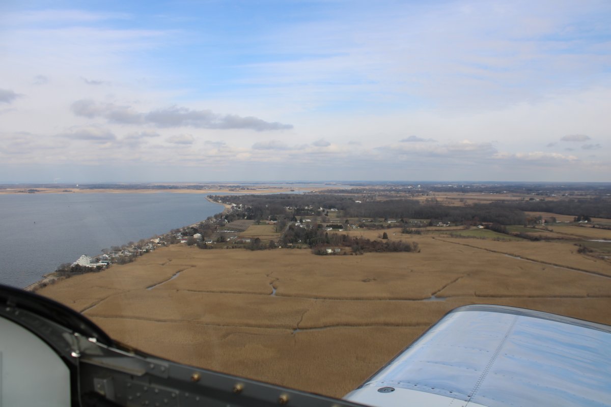
Here the Salem River stretches out to the northeast.
|
| |
 |
|
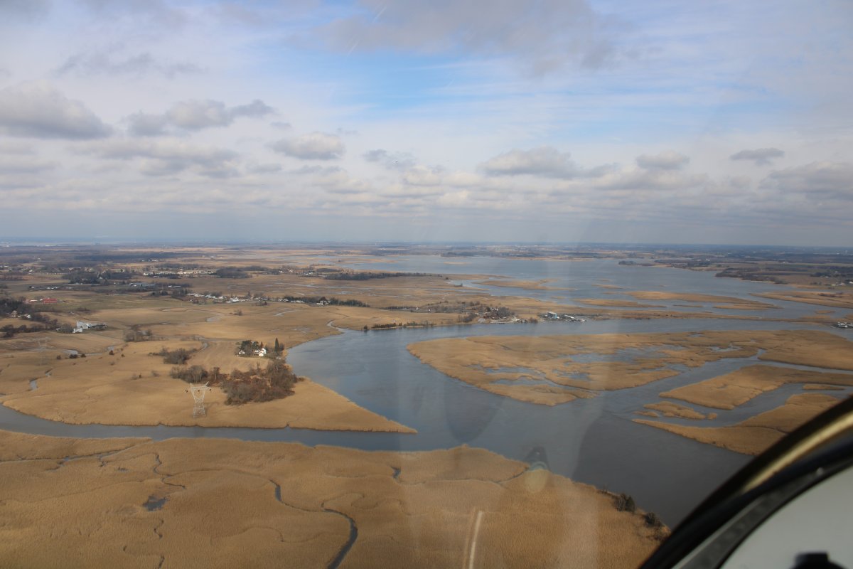
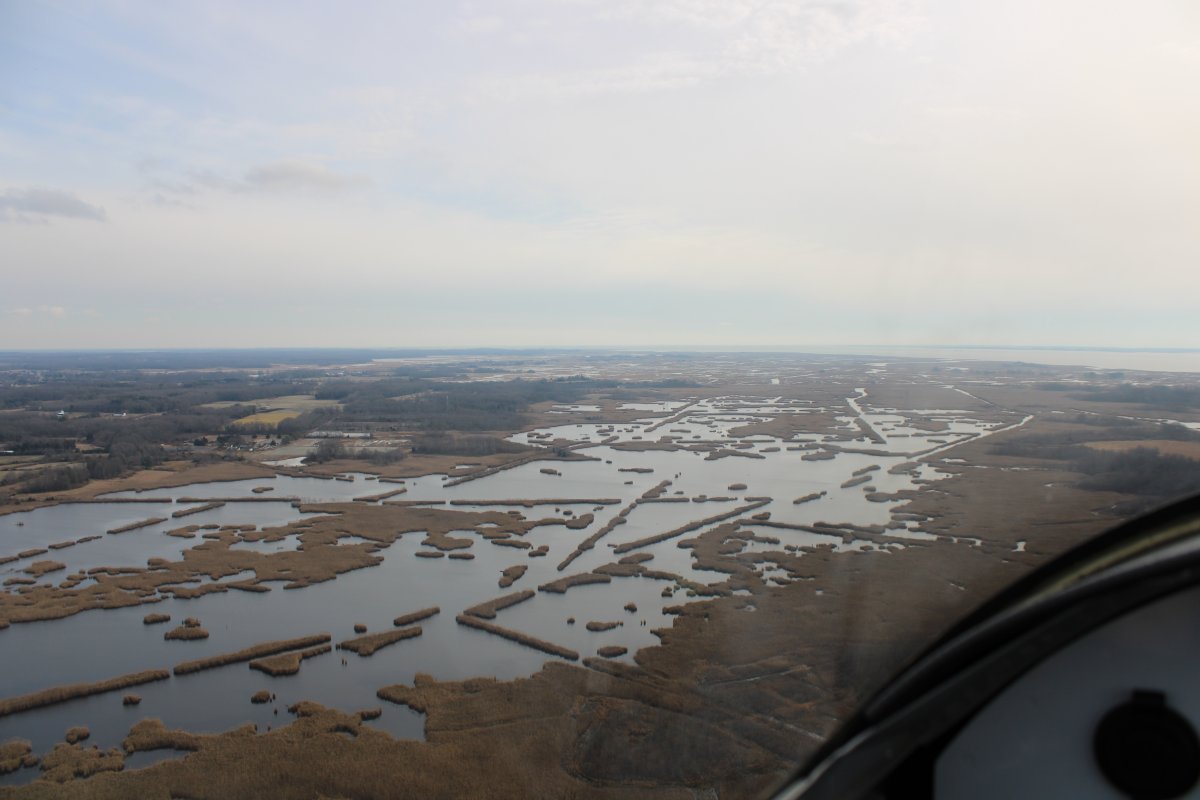
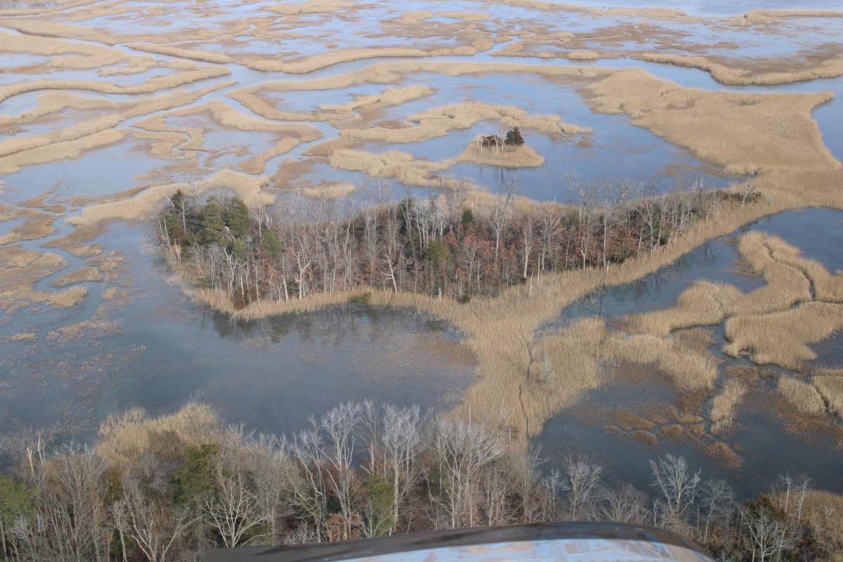
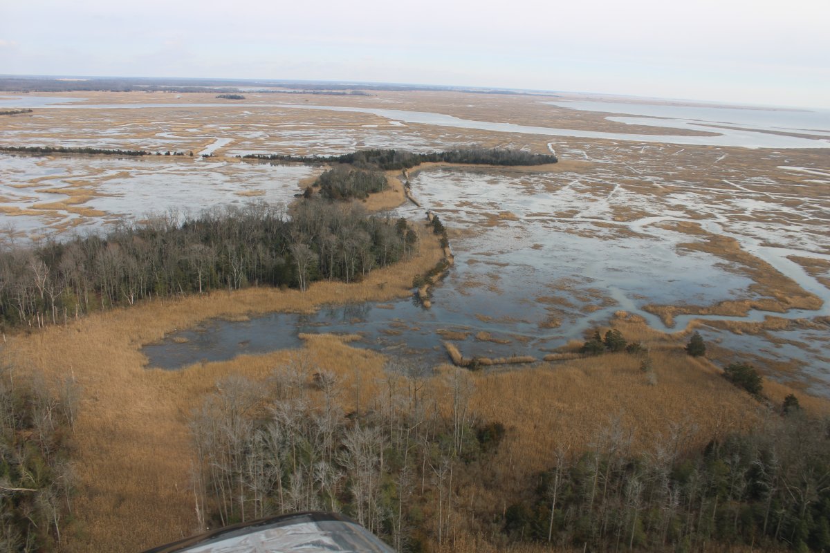
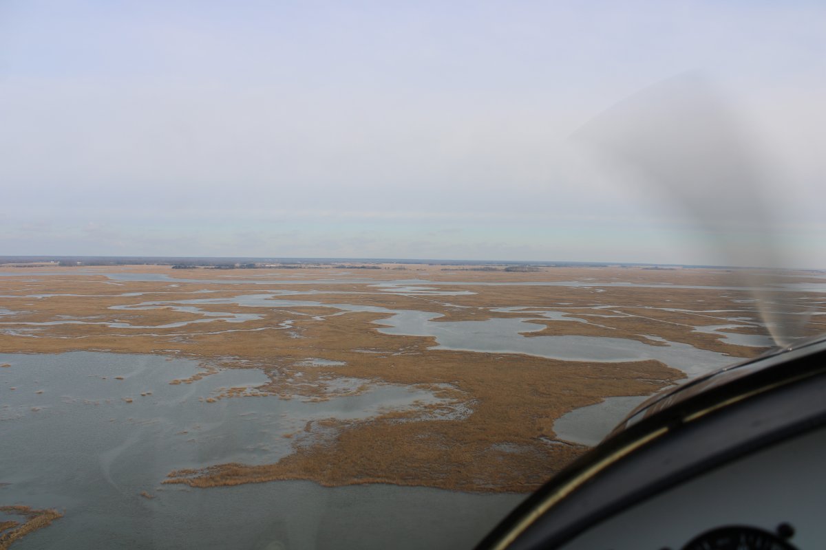
| The Salem River has lots of adjoining marshes. There were a lot of birds in the area; eyes out of the cockpit. |
| |
 |
|
|
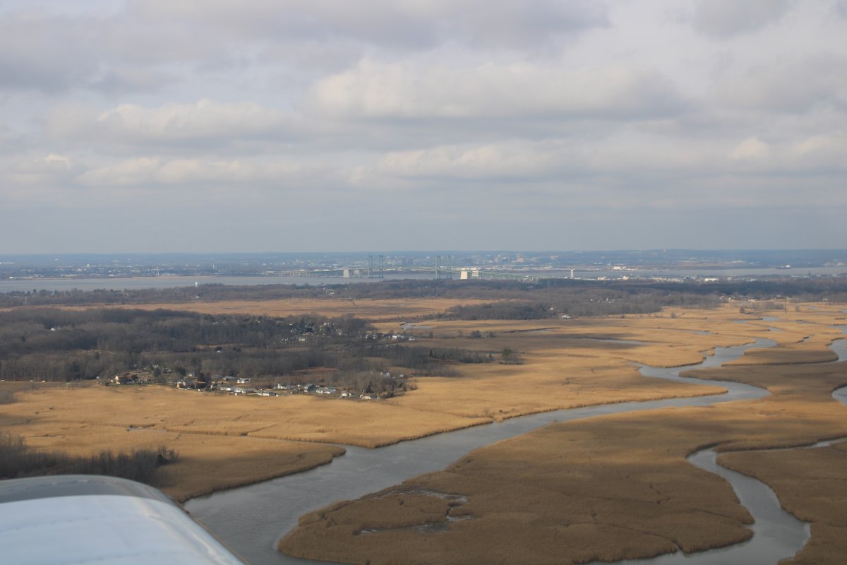
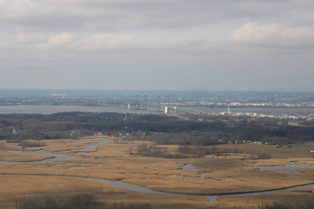
Looking northeast with the Delaware Memorial Bridge crosses the Delaware River with Wilmington in the background.
|
| |
 |
|
|
A closer look at the Delaware Memorial Bridge. The first span opened to traffic on August 16, 1951, and at the time was the sixth-longest main suspension span in the world. A second span opened on September 12, 1968. As of 2018, more than 80,000 vehicles cross the twin spans on their combined total of eight lanes daily.
The bridges carry Interstate 295 and U.S. Route 40 between Delaware and New Jersey. While not a part of Interstate 95, they connect two parts of the highway: the Delaware Turnpike (Interstate 95 in Delaware) on the south side with the New Jersey Turnpike (later Interstate 95 in New Jersey) on the north side.
|
| |
 |
|
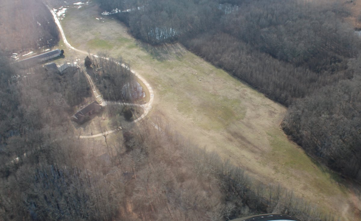
| My GPS map showed a private grass strip in the area; I looked down and sure enough, there it was. Rainbows End. |
| |
 |
|
|
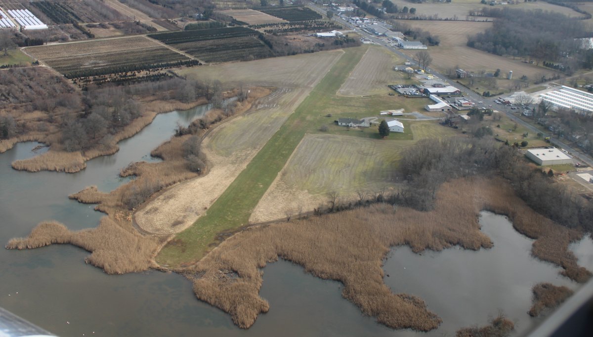
I passed another private grass strip named Salem.
|
| |
 |
|
| Now heading south, down the east side of the Nuke Plant. |
| |
 |
|
|
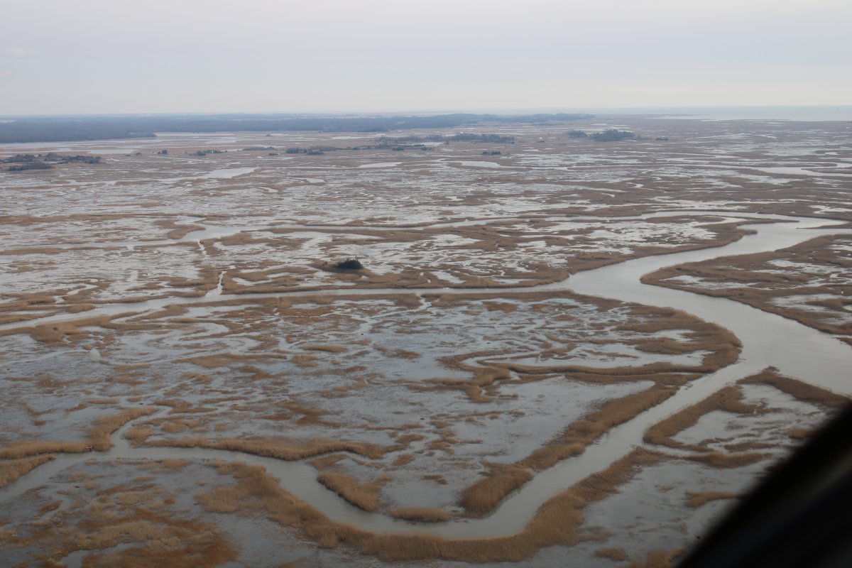
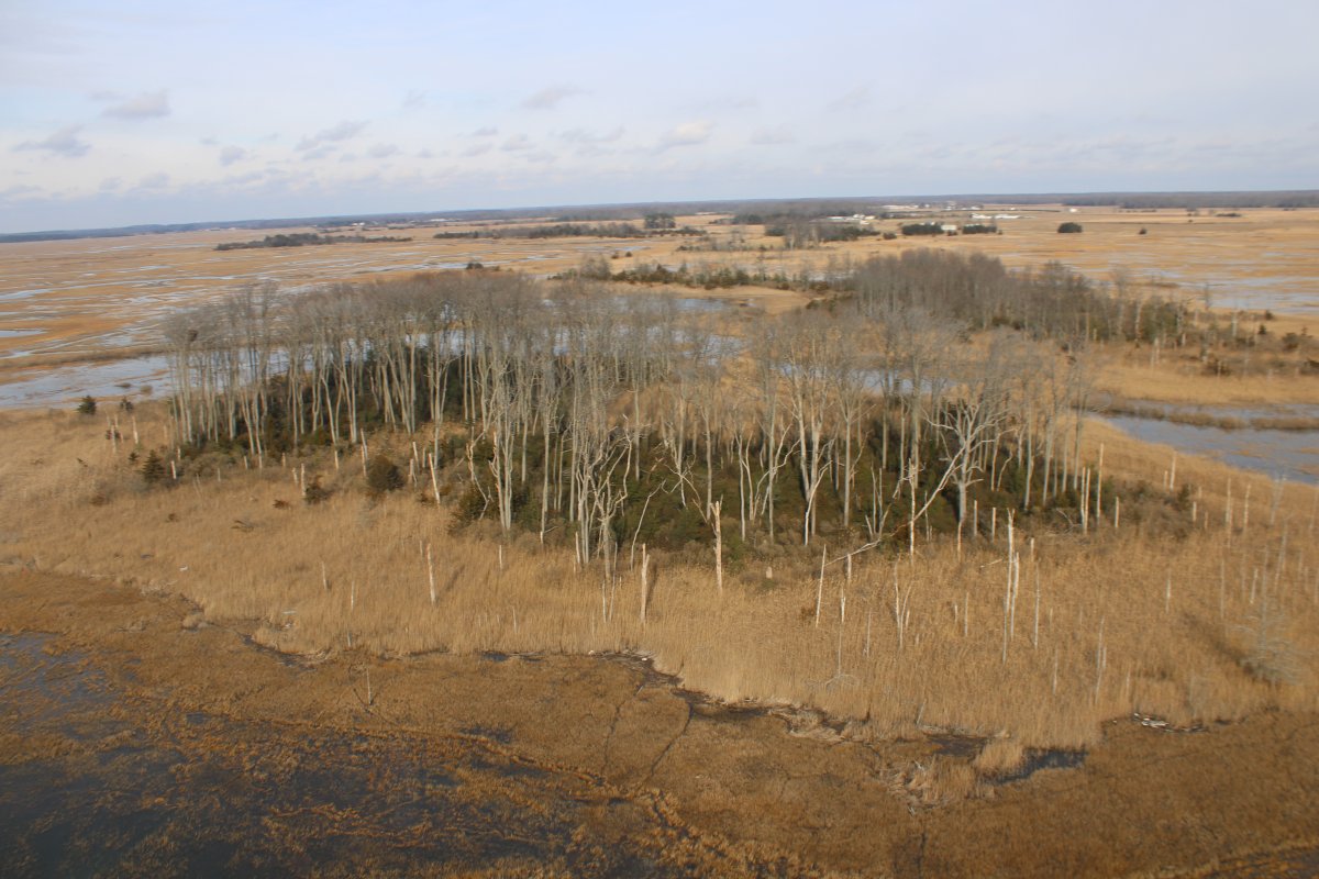
I flew this area a lot in 2020. There seemed to be a lot more water now than I remember.
|
| |
 |
|
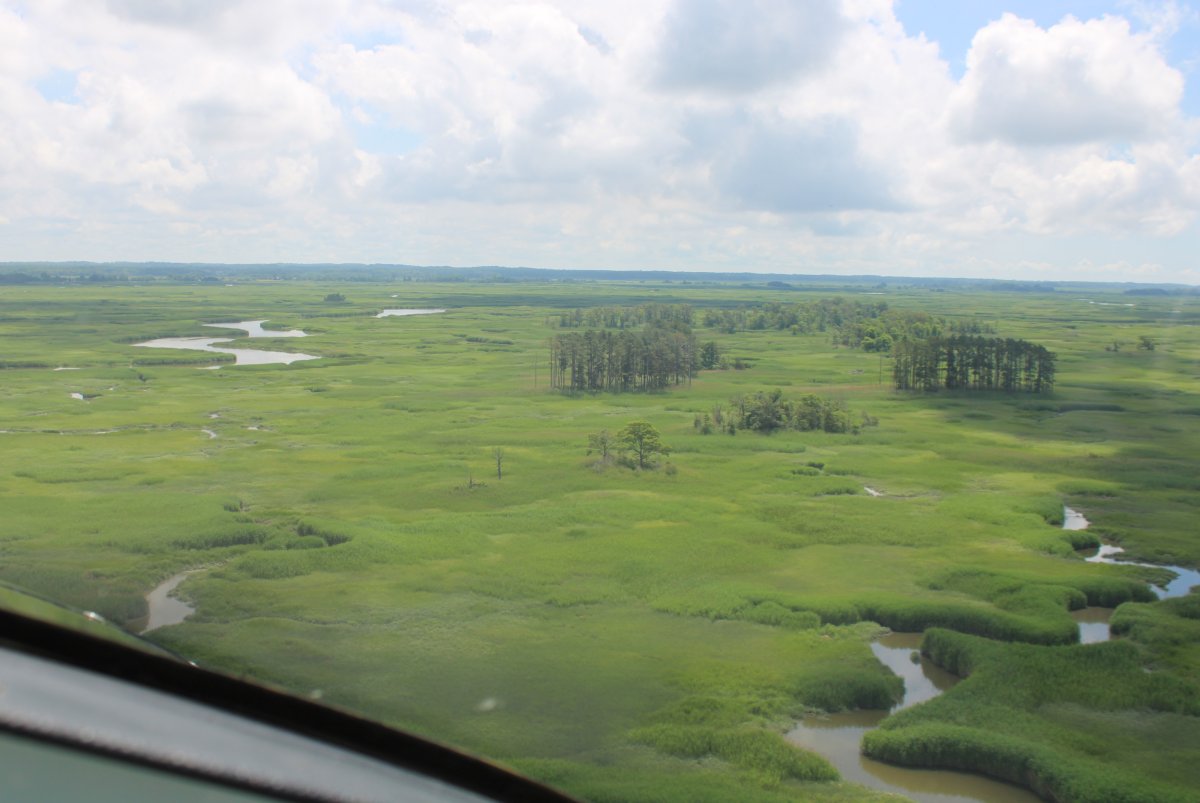
| Flashback! I took this picture of the same area back in June 2020. |
| |
 |
|
| |
| |
 |
|
| |
| |
 |
|
|
|
| |
 |
|
| |
| |
 |
|
|
|
| |
 |
|
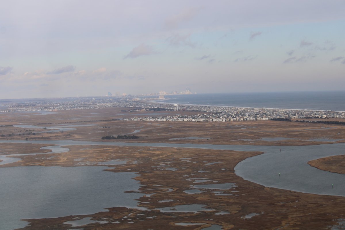
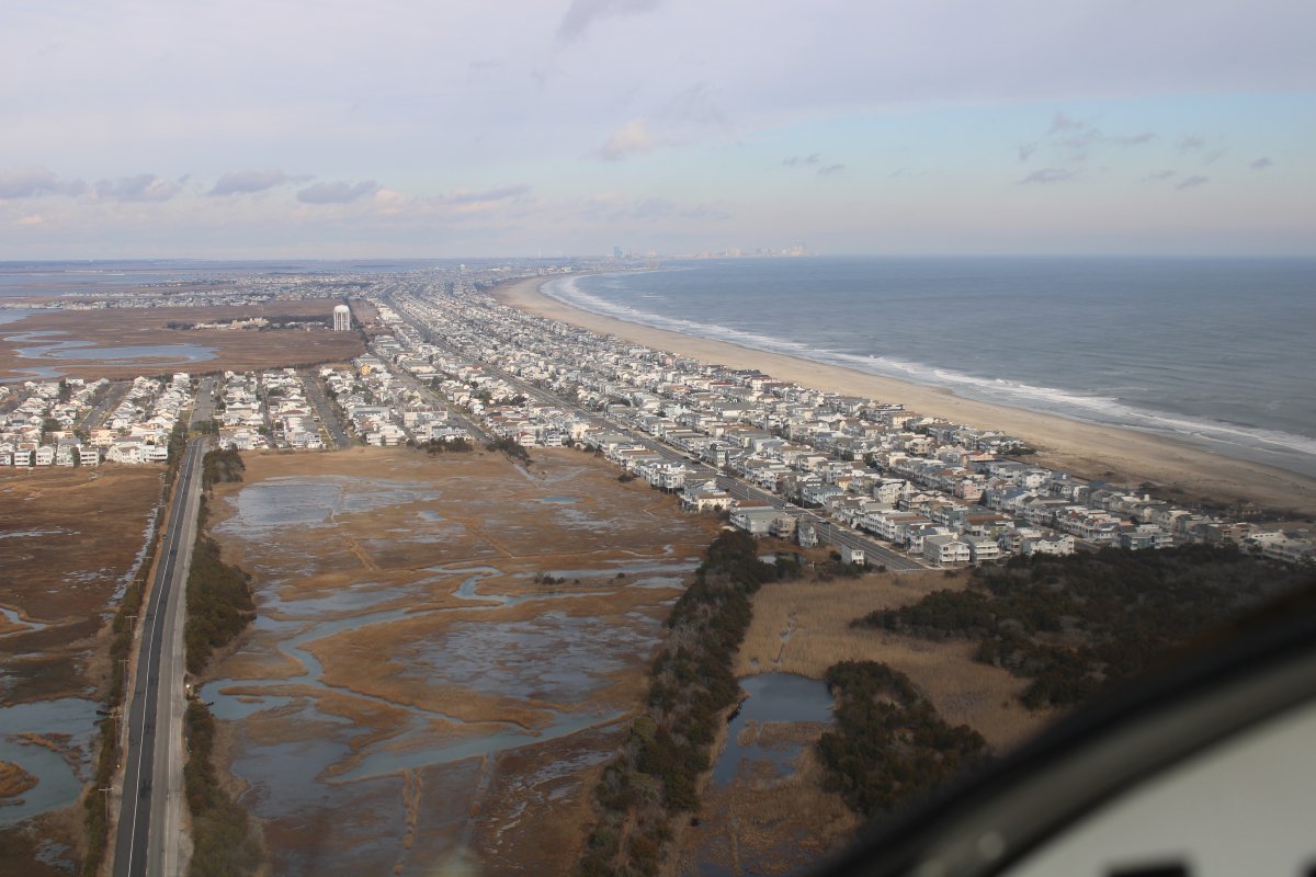
| Down by Dennis Creek, I turned east and crossed the narrow peninsula to the Jersey shore. Atlantic City is visible in the distance to the north. |
| |
 |
|
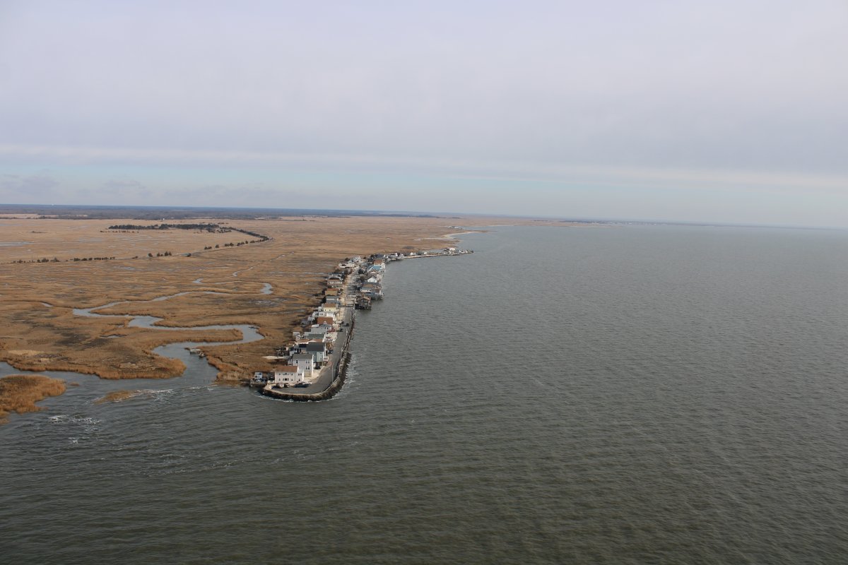
| Jersey Shore. |
| |
 |
|
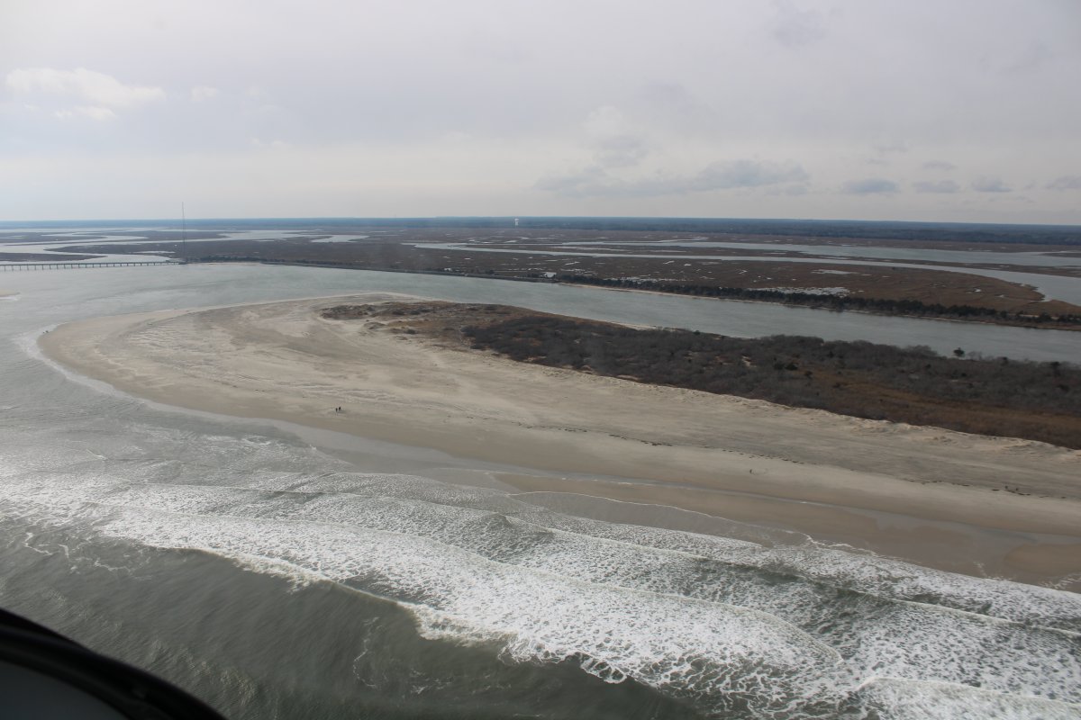
| Passing by Corson Inlet State Park heading southwest. |
| |
 |
|
|
Looking southwest.
|
| |
 |
|
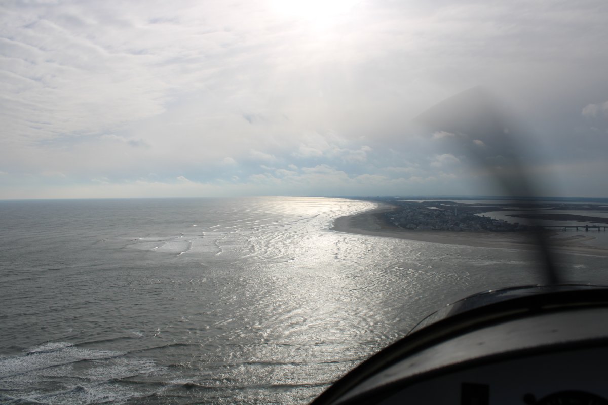
| I flew down the beach for awhile then climbed to head for home. Here is a shot of Cape May. |
| |
 |
|
|
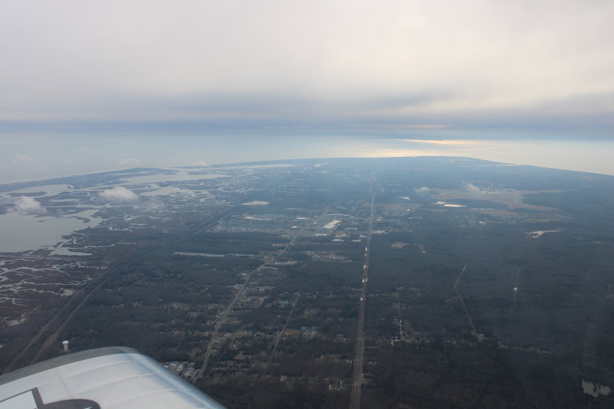
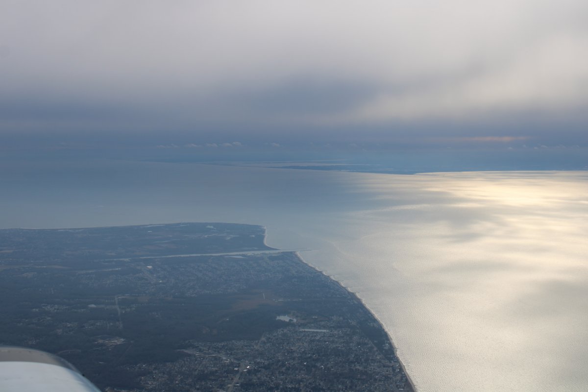
About to go feet wet over Delaware Bay. Looking at the entrance to Delware Bay with Cape May on the left and Cape Henlopen on the right.
|
| |
 |
|
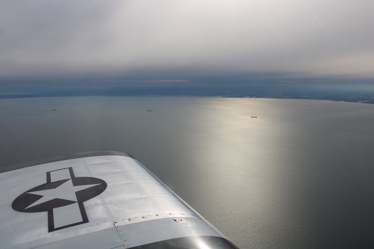
| Crossing Delaware Bay. The air was smooth as silk at 4,500 feet. The plane hardly seemed moving. But I was going 155 mph. |
| |
 |
|
|
|
| |
 |
|
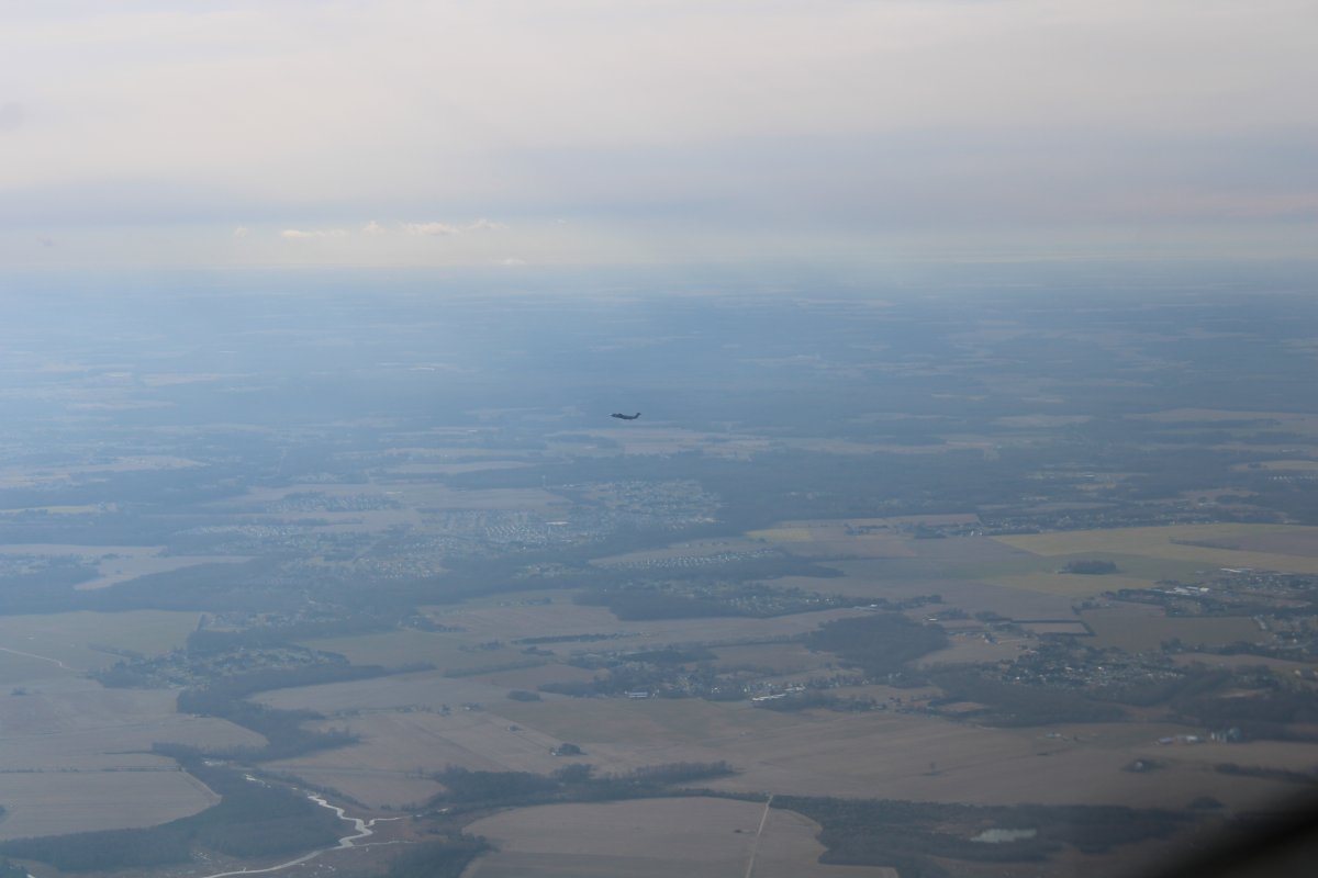
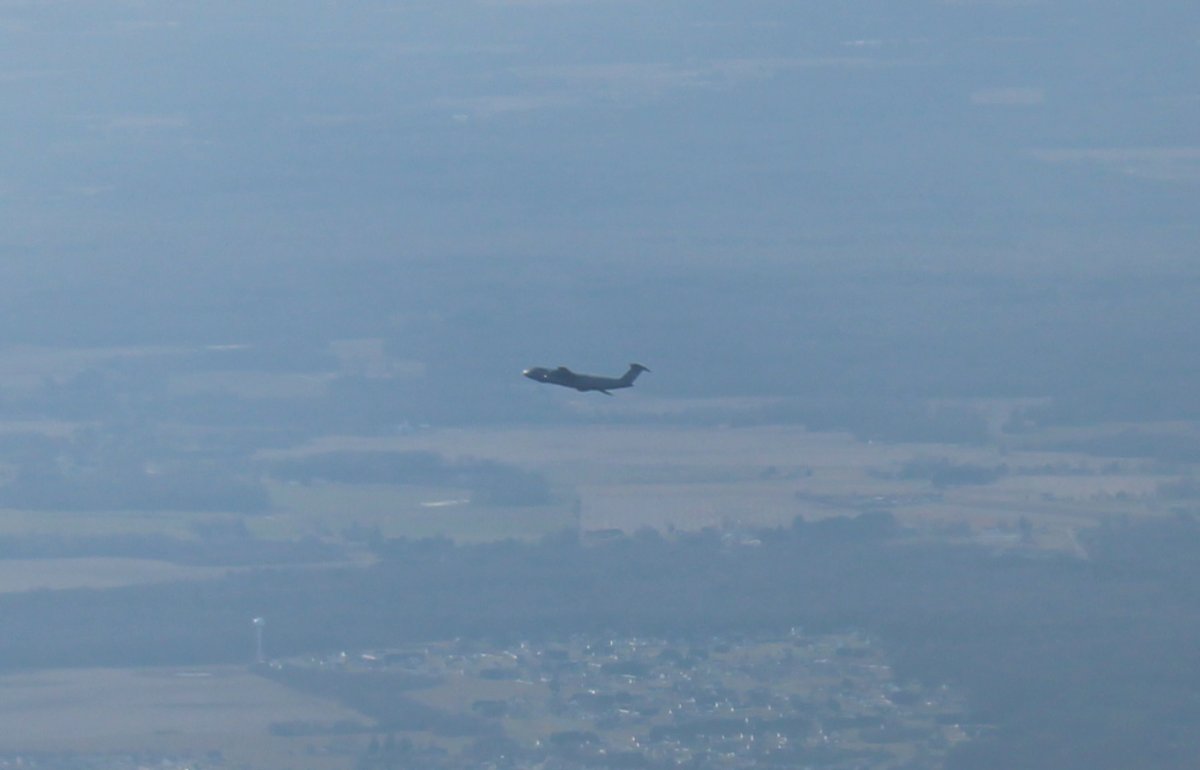
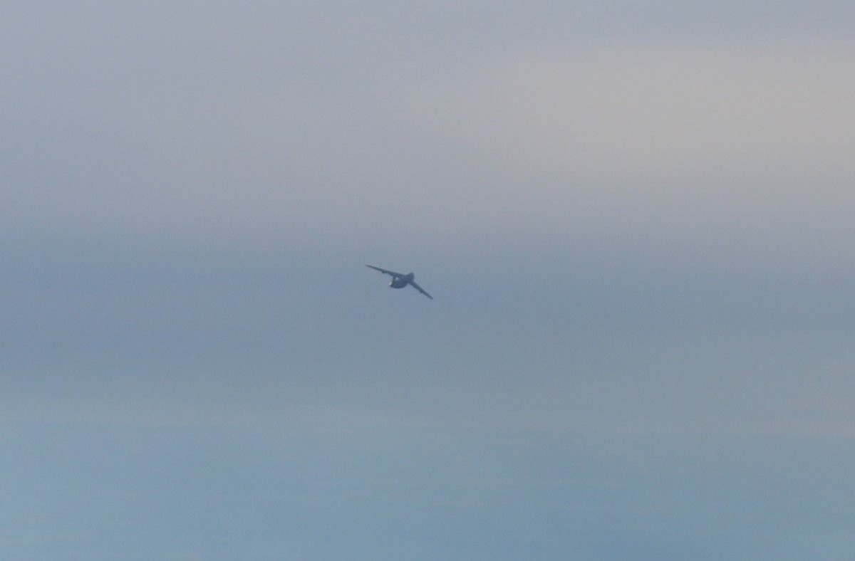
| It was amazing to see how quickly the big jet climbed. I realized that it would be at my altitude if it turned towards me. I could tell it was starting to turn. Fortunately it turned away from me. |
| |
 |
|
| There goes the big guy. |
| |
 |
|
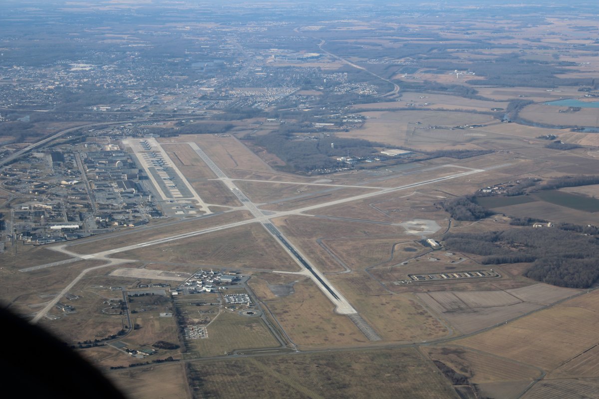
| Looking down at Dover AFB. |
| |
 |
|
|
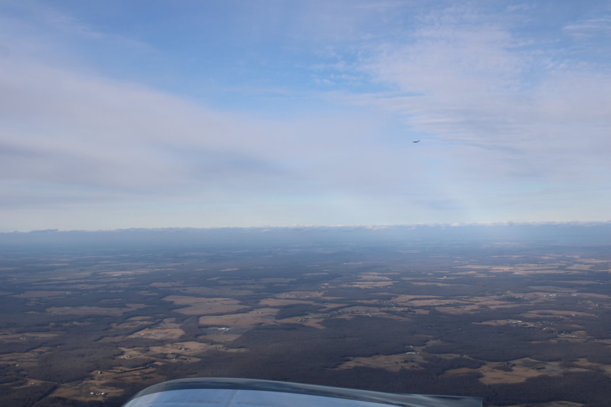
I was flying along at 4,500 feet, fat, dumb and happy when I looked out my right side and saw another C-17 passing by!
|
| |
 |
|
|
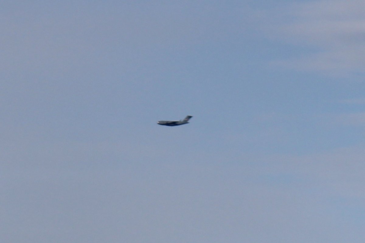
The Air Force is busy on this Saturday.
|
| |
 |
|
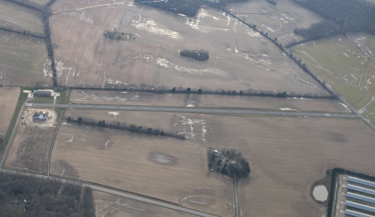
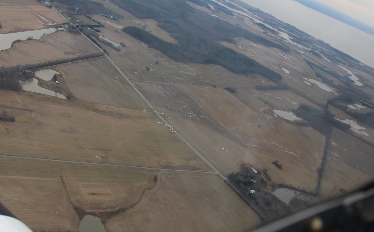
| Halfway across the eastern shore, north of Ridgely, I looked down and was surprised to see a paved runway I had never seen before. It is Myles Landing Airport (27MD); a private paved strip 3,250 feet long. |
| |
 |
|
|
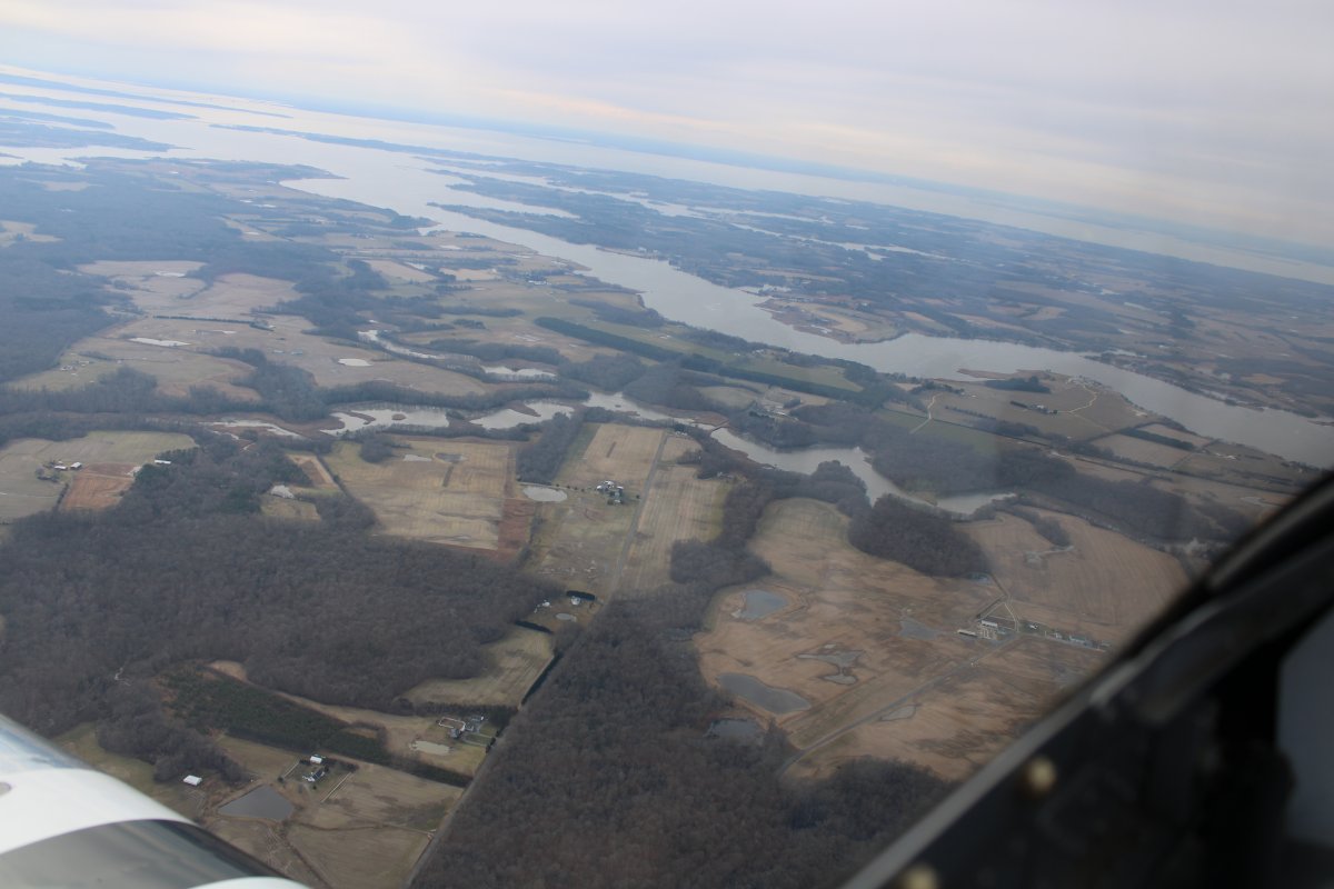
Approaching the Chester River and Chesapeake Bay.
|
| |
 |
|
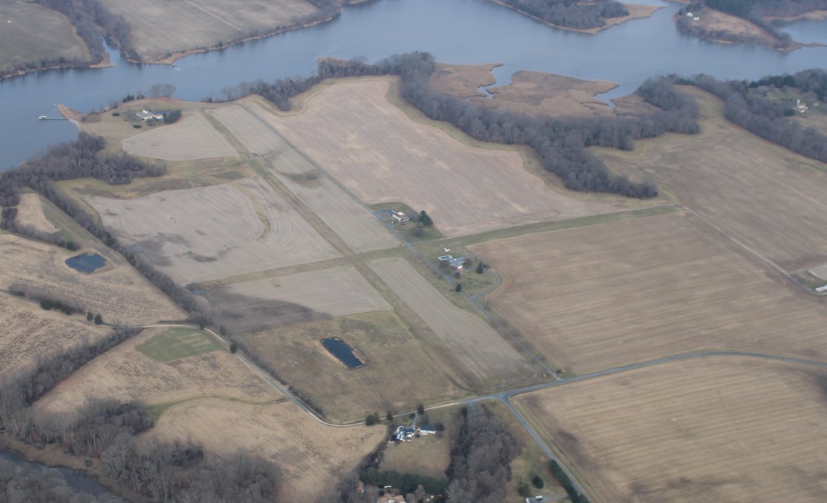
| Now this private airport -- Saxon Farms Airport (MD91) -- with two intersecting grass strips has existed ever since I have been flying in Maryland. |
| |
 |
|
|
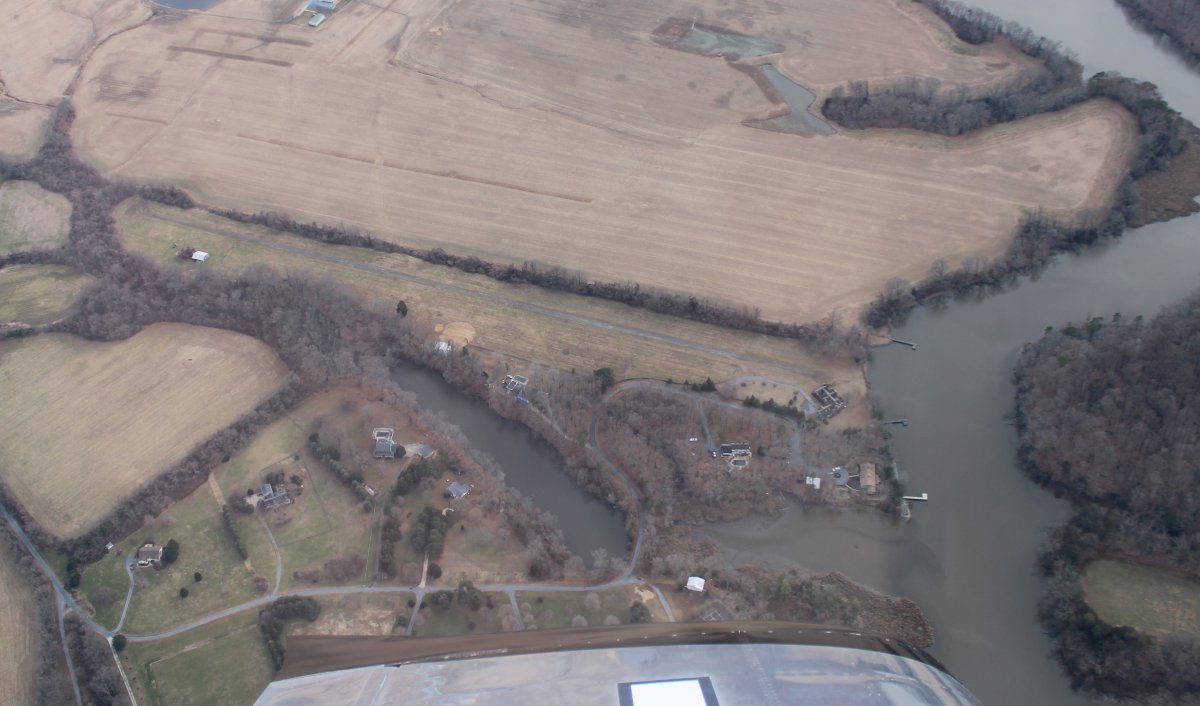
Nearby is another private strip -- Kennersley Airport (MD23). This one is asphalt and is also a waterfront property; on the Island Creek. A few years ago it was up for sale. I should have bought it.
|
| |
 |
|
|
In the center of the picture is a large flock of birds. Right after I took this picture I had to maneuver to avoid additional flocks at my altitude. Never seen anything like it. The birds were out and about today.
Nice flight today. I logged close to two hours.
|
| |
 |
|
| |
| |
|
|
|
|
|
|